

A Columbia River Gorge Multnomah Falls day trip takes you east from Portland to a river corridor with waterfalls, viewpoints and routes on both the Oregon and Washington sides. The Gorge extends 80 miles along the Columbia River, and Multnomah Falls is one of the stops on the Columbia Gorge Express route.
- Region: Columbia River Gorge National Scenic Area, east of Portland
- Roads: Interstate 84 and the Historic Columbia River Highway on the Oregon side
- Transit: Columbia Gorge Express connects Gateway Transit Center with Troutdale, Multnomah Falls, Cascade Locks and Hood River
- Access: Check current trail and road conditions before departure
Choosing a Gorge day-trip route
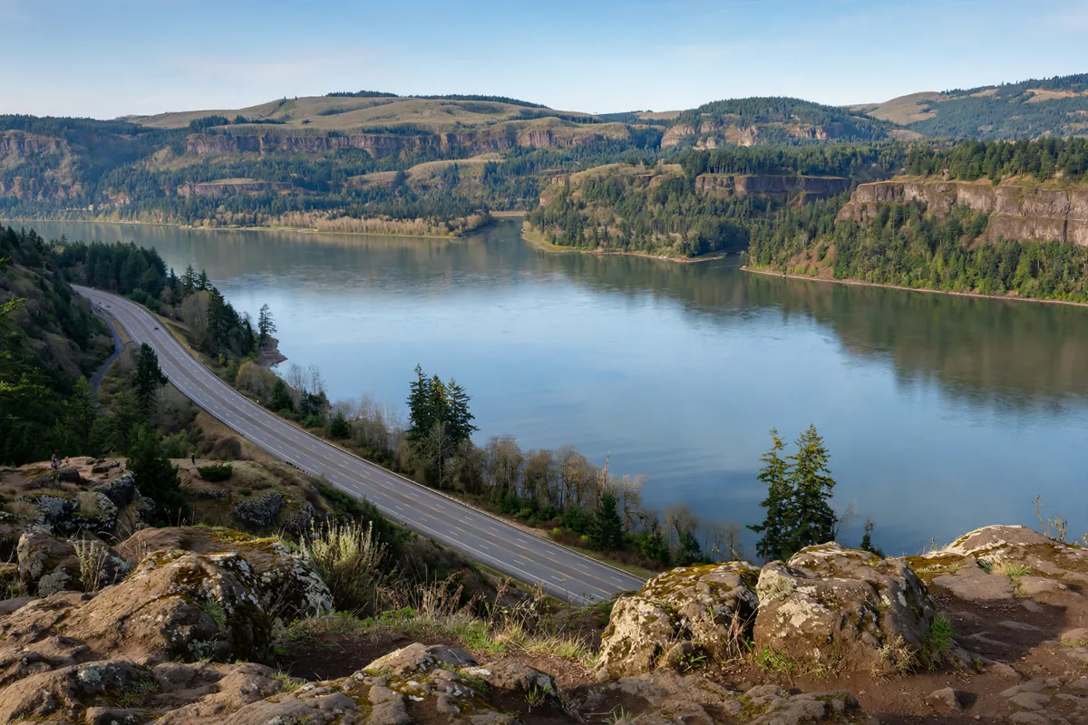
A useful route plan starts by choosing whether to focus on the Oregon side or include Washington across the river. The Columbia River Gorge National Scenic Area stretches 80 miles along the Columbia, so it helps to pick a few stops rather than treat the whole corridor as one short outing.
On the Oregon side, Interstate 84 follows the Gorge, while the Historic Columbia River Highway parallels it from Troutdale east to Dodson. State Route 14 runs along the Washington side. These roads give you different ways to follow the river; choose the side and stops that fit your transport and access plans.
For a transit-based day, the Columbia Gorge Express links Gateway Transit Center in Portland with Troutdale, Multnomah Falls, Cascade Locks and Hood River. You can use Multnomah Falls as the main stop, or build a wider outing around more than one of those destinations. Columbia Area Transit operates the service; check its current route and schedule before you travel.
Visiting Multnomah Falls
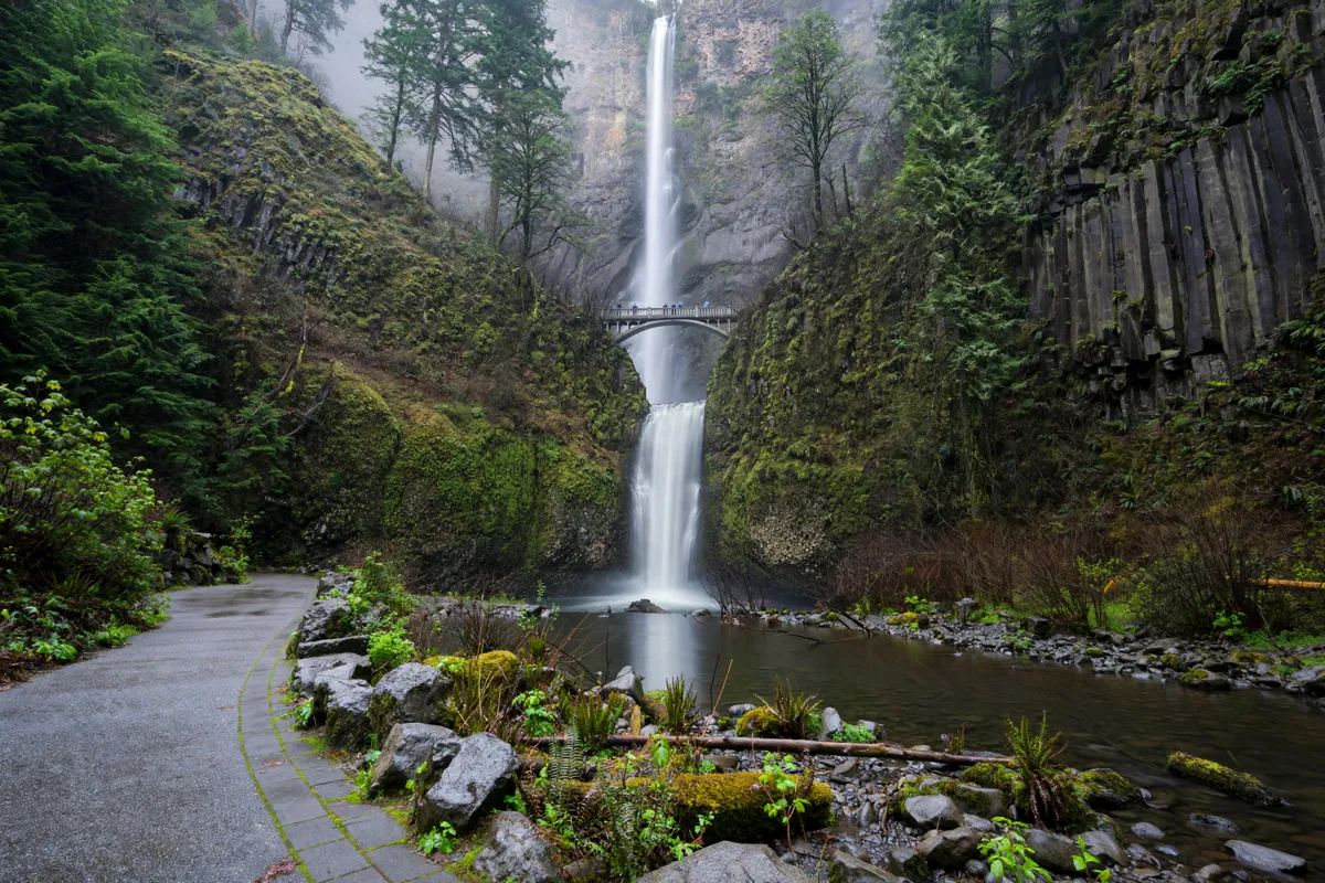
Multnomah Falls is a Columbia Gorge stop accessible by road and included on the Columbia Gorge Express route. Plan the falls as a distinct visit within the day rather than assuming it will be a simple pass-through: congestion can affect both road access and transit stops.
Columbia Area Transit cautions that its buses may bypass the Multnomah Falls stop in rare cases when extreme congestion creates safety concerns, the parking lot is full and traffic backs up onto I-84.
Fridays, weekends and holidays are typically when the lot fills fastest. If the falls are central to your itinerary, make this access check part of your planning and keep your route flexible.
The falls can also fit into a longer Gorge itinerary using the Oregon-side roads or the regional bus. Pairing the stop with Cascade Locks or Hood River follows the Columbia Gorge Express corridor; the best sequence depends on the current service and road conditions.
Driving and transport options
You can travel through the Gorge by car on its principal roads or use the Columbia Gorge Express for a regional bus connection from Portland.
By car
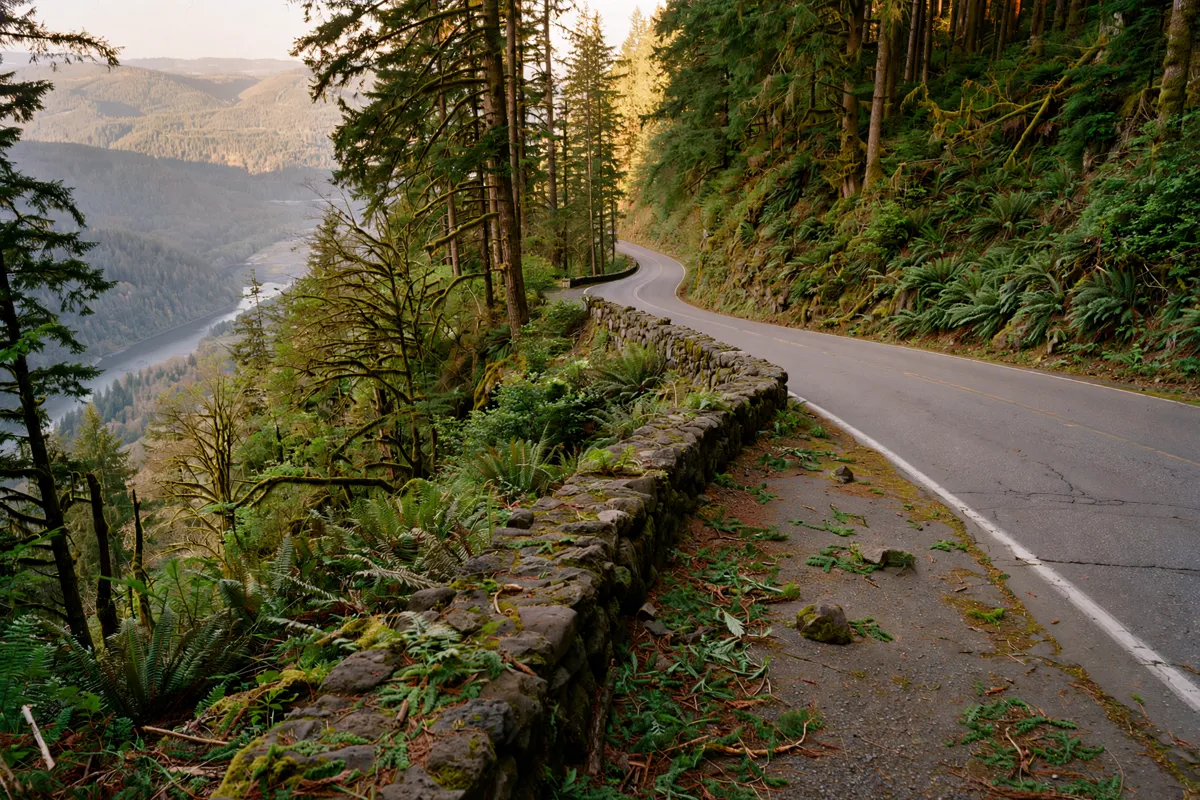
I-84 runs along the Oregon side, and the Historic Columbia River Highway parallels it between Troutdale and Dodson. The two routes offer a way to shape a drive around the Gorge’s Oregon-side stops. ODOT TripCheck is the source to consult for road conditions and closures.
By bus
The Columbia Gorge Express connects Portland’s Gateway Transit Center with Troutdale, Multnomah Falls, Cascade Locks and Hood River. Columbia Area Transit says the service operates seven days a week, but schedules can change, so confirm current details with the operator before departure.
If you are travelling without a car, you can plan the Portland connection alongside the regional bus rather than assume every leg is covered by one service. The guide to how Portland public transport works for visitors gives broader context for getting around the city.
Permits, seasons, and access checks
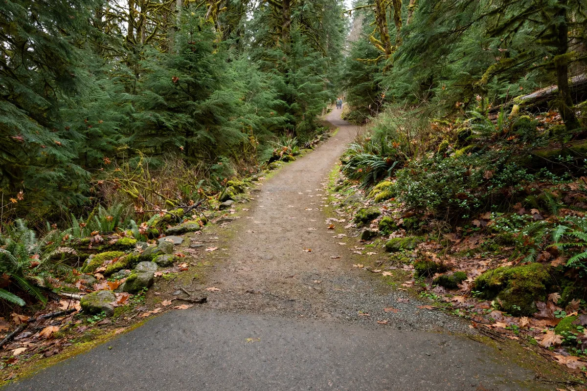
Before you set out, check current trail openings, road conditions and transit service, since access can vary across the Gorge.
Travel Portland recommends checking U.S. Forest Service sources for trail and campsite openings and ODOT TripCheck for road conditions and closures. Columbia Area Transit is the source for current Columbia Gorge Express schedules and service notices.
The bus operator has warned that traffic congestion can sometimes prevent a stop at Multnomah Falls, so confirm service if that stop is essential to your day.
For an airport-area starting point, Evergreen Inn, a motel near Portland International Airport, offers lodging in Portland.
Before you go: Check the official site before you go, using Columbia Area Transit for bus information, the U.S. Forest Service for trail and campsite openings, and ODOT TripCheck for road conditions.
A practical day-trip schedule
A practical schedule begins with your chosen transport and access checks, then centres the outing on Multnomah Falls or a wider set of Gorge stops.
- Choose your route. Decide whether you will follow the Oregon-side roads, cross to the Washington side, or use the Columbia Gorge Express from Gateway Transit Center.
- Confirm access. Check the bus operator’s current schedule if you plan to ride, and check official trail and road sources for openings and conditions.
- Make Multnomah Falls your first priority if needed. Congestion can affect the bus stop and parking access, especially on Fridays, weekends and holidays, so build flexibility into the plan.
- Add another Gorge stop only after settling the main connection. Troutdale, Cascade Locks and Hood River are also on the Columbia Gorge Express route; choose any additional stop around current service and your available time.
The Gorge’s length makes a focused day easier to plan than trying to cover every section. A clear starting point, a confirmed connection and a short list of stops help keep the outing practical.
FAQs
How long is the Columbia River Gorge?
The Columbia River Gorge National Scenic Area extends 80 miles along the Columbia River.
Does the Columbia Gorge Express stop at Multnomah Falls?
Multnomah Falls is on the route, but buses may bypass the stop in rare cases of severe congestion and safety concerns. Confirm current service with Columbia Area Transit before travelling.
Which roads run through the Gorge?
Interstate 84 runs along the Oregon side, and the Historic Columbia River Highway parallels it from Troutdale to Dodson. State Route 14 runs along the Washington side.
Where can you check trail and road access?
Check U.S. Forest Service sources for trail and campsite openings and ODOT TripCheck for road conditions and closures.